Santa Lucia Preserve Maps
Click on the map image to see the full version.
Prescribed Burn Maps 2022
2022 Prescribed Burn Units
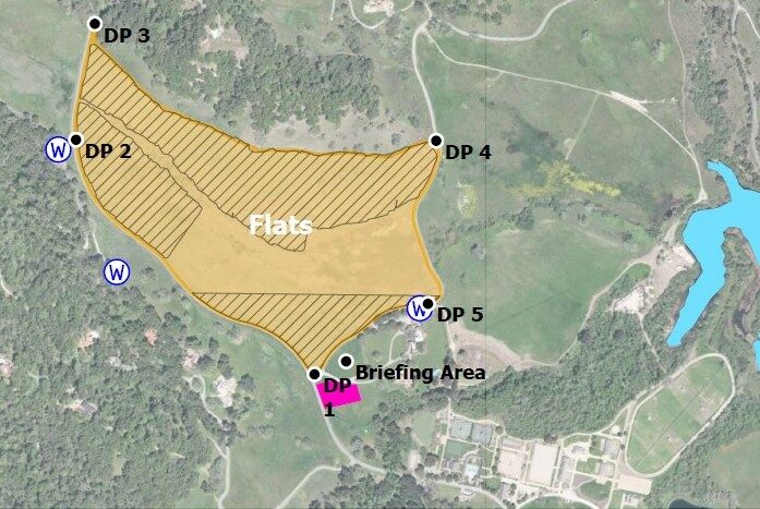
Prescribed burn map including both the San Francisquito Flats burn unit and the Dairy Field burn unit
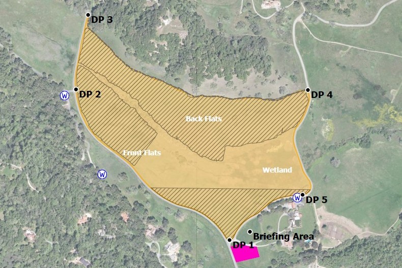
San Francisquito Flats Burn Unit
San Francisquito Flats Burn Unit Map for prescribed burn participants.
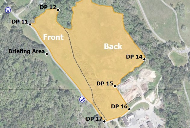
Dairy Field Burn Unit
Dairy Field Burn Unit Map for prescribed burn participants.
Preserve-Wide Maps
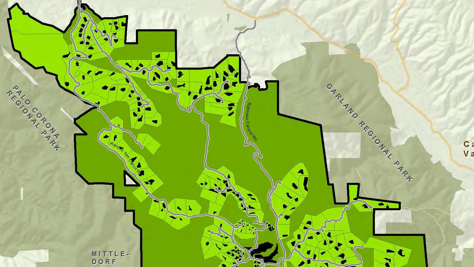
Santa Lucia Preserve Design
This map shows the composition of Preserve Lands and Settled Lands.
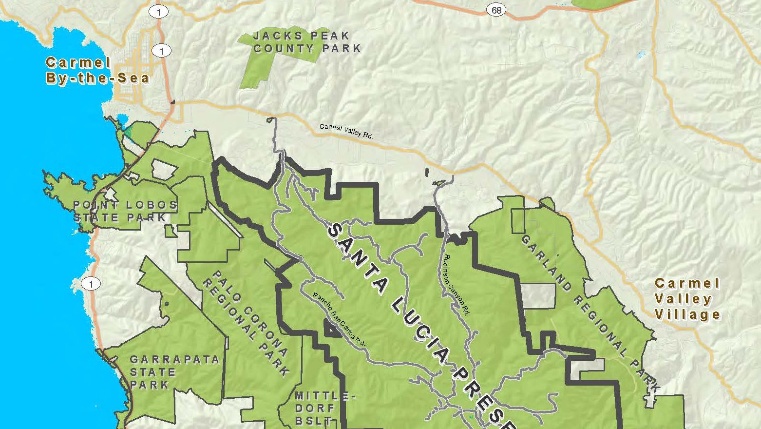
Santa Lucia Preserve Neighbors
Surrounding protected and private lands support wildlife populations whose territories defy human constructed properties. This enhances the natural qualities protected by the Preserve and supports habitat connectivity for our wild residents.
Santa Lucia Preserve Trail Map
The 100 mile trail system is available to Santa Lucia Preserve residents, members, and their guests from dawn to dusk.
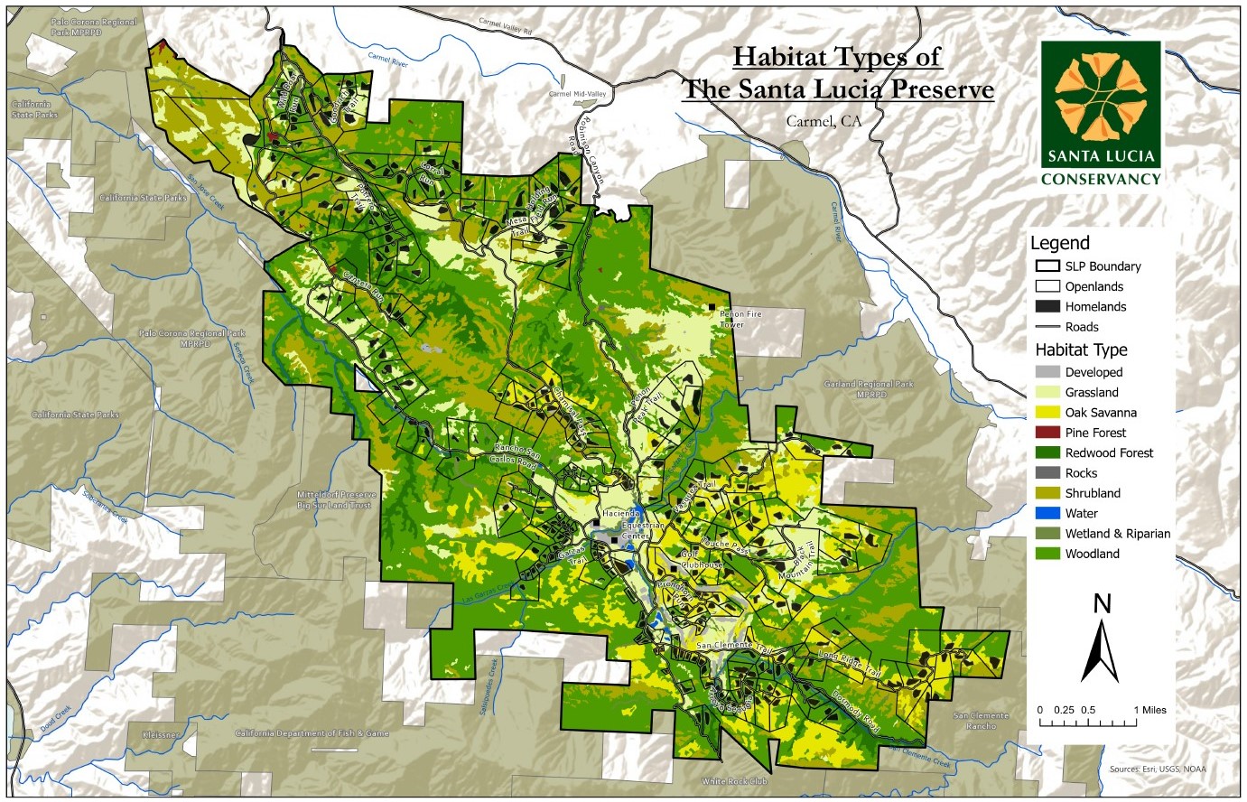
Santa Lucia Preserve Habitat Types
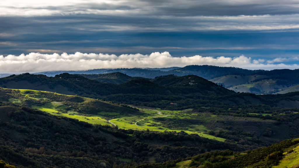
The natural diversity of the land inspires awe as one traverses the scenic mosaic landscape.
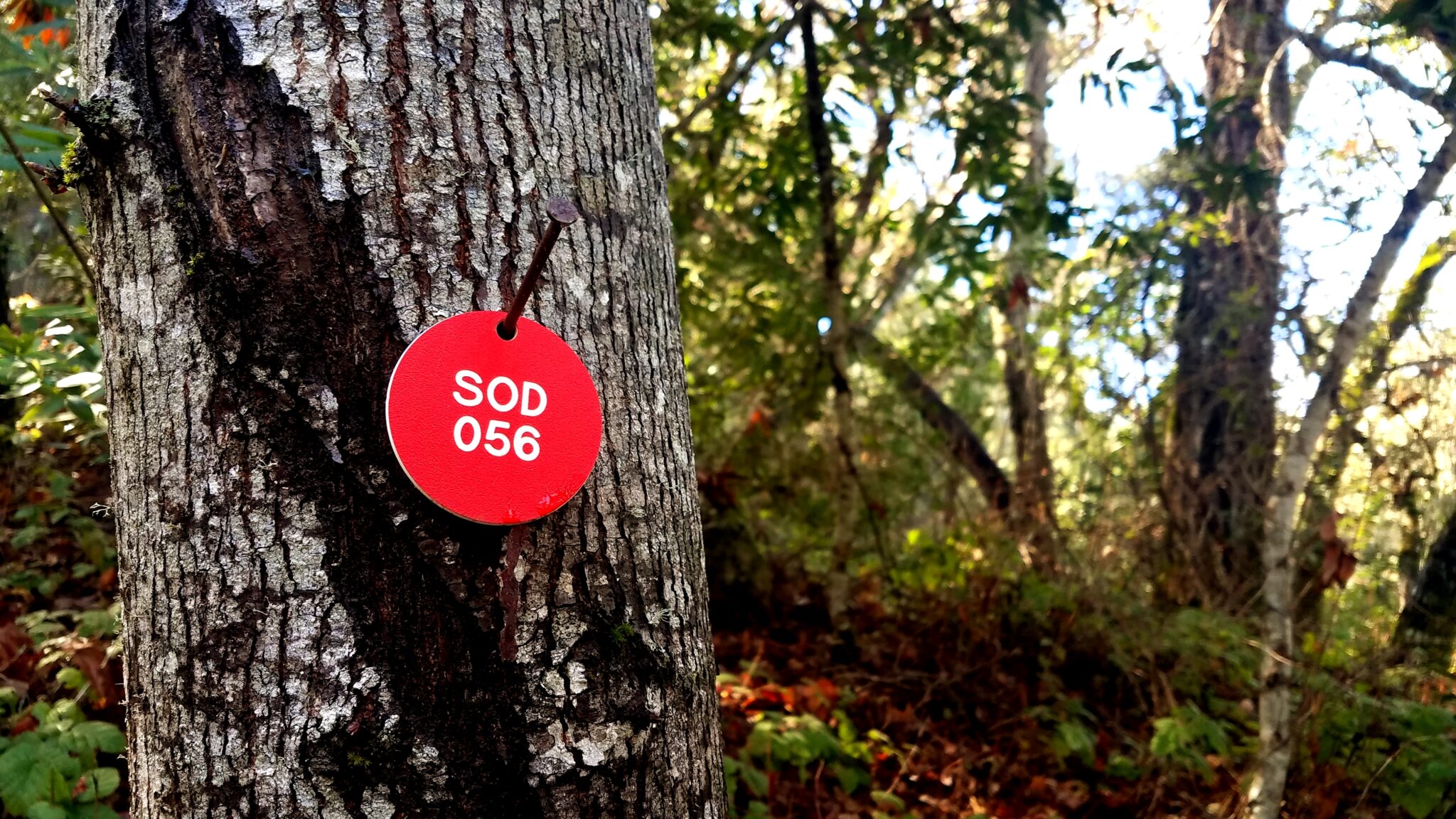
Sudden Oak Death
Sudden Oak Death (SOD) is a tree disease caused by the exotic plant pathogen Phytophthora ramorum and was first located on The Santa Lucia Preserve in 2005.
