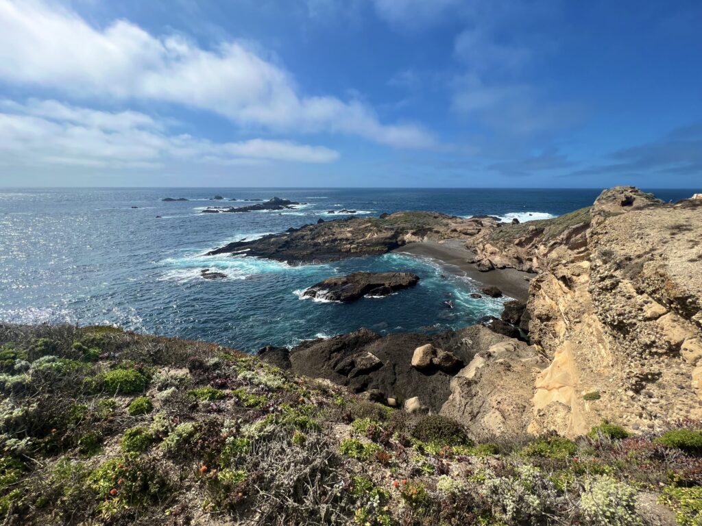
The Coastline at Point Lobos State Natural Reserve. Photo by Alix Soliman.

How Conservation Flows Downstream in the Carmel River Watershed
March 21, 2022
By Andrew Evans, Conservation Grazing Associate
From Big Sur to Carmel Beach to Asilomar and beyond, the draw of the Central Coast is centered on its pristine landscapes, resilient habitats, abundant fisheries, and welcoming coastal towns. However, as global watersheds are facing the impacts of chemical pollution, erosion, smothering sedimentation, dead zones, and channelization, it is clear that our behaviors upstream have the power to either destroy or maintain the beauty of our shores here in California.
To understand the connection between the inlands and the coast, we first need to understand how watersheds function. Watersheds are areas of land where surface waters (i.e., streams, rivers, brooks, and dribbles) collect and flow to a common outlet (i.e., a larger river, a large lake, or a coastal estuary) from the highest peaks in the drainage basin to the lowest points. What one landowner does on their parcel of land in combination with their neighbors’ activities affects our shared aquatic resources downstream. Therefore, what we love about our coasts–whether it’s edible fish, surfable waters, or pretty campside views–depends on what we do upstream.
On the Santa Lucia Preserve
The Santa Lucia Preserve makes up 10% of the Carmel River Watershed. Covering 20,000 acres of a highly heterogeneous landscape (many different habitats intermixed), the Santa Lucia Conservancy works to improve the upstream habitats on The Preserve. With our land management programs, we ensure that our soils have year-round plant cover to keep runoff from picking up sediment. We remove invasive plants that “hog” surface waters and would otherwise remove available water for downstream aquatic habitats, aquifers, and groundwater. Meanwhile, we help monitor active Preserve construction sites to enforce regulations and prevent environmental damage. By managing large swaths of forests, grassland, riparian corridors, and guiding conservation-compatible rural development on The Preserve, we encourage a system of healthy soils that filter any pollutants that may travel through our portion of the Carmel River Watershed.
The Preserve community works to conserve water, guided by a conservation ethic and equipped with well-designed infrastructure. The Preserve recycles as much water as possible each year by capturing irrigation and rainwater off of the golf course and cleaning it in a system of five reservoirs. The water is then used again for irrigation, reducing the course’s dependence on groundwater and keeping the land green and cool. Many Preserve residents also do their part by limiting their water use, especially during the dry months, with some harvesting rainwater from their roofs and others reusing dishwater (with biodegradable soap, of course!) to irrigate their gardens.
Land is Woven Together by Watersheds
The upstream lands of Monterey County include a network of conserved lands owned by and/or managed as land trusts, state parks, marine protected areas, and responsible landowners. The Santa Lucia Preserve is flanked by Garland Ranch Regional Park, Palo Corona Regional Park, and Big Sur Land Trust’s Mitteldorf Preserve, and more. With these organizations and the support of the Carmel River Watershed Conservancy, The Santa Lucia Preserve fits into a contiguously cared for landscape connecting Carmel Valley to the coastline.
With so many neighbors, one of our biggest opportunities to collaborate with and contribute to our broader community comes from the rivers that tie our lands together. Rivers are inherently dynamic and their banks naturally shift and braid over time. As humans depend on consistent landscapes and steady foundations for long-term structures, many cities and communities have hemmed in rivers to turn them into straight channels, dammed them for power and flood control, and drained them for irrigation. This “channelization” decreases habitat for endangered species like steelhead trout and threatens the health of the entire ecosystem. Preventing and reversing the over-development of rivers requires community-wide cooperation, conservation partners, and continual reinvestment.

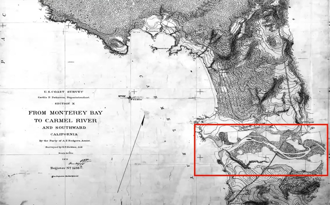
The Carmel River floodplain in 1876. Historical photo courtesy of California Coastal Conservancy.
The Santa Lucia Conservancy is partnering with Monterey Peninsula Regional Parks, the Trust for Public Lands, and Trout Unlimited to restore the Carmel River floodplain on the former Rancho Cañada Golf Course (just east of Palo Corona Park). By reversing the channelization of the Carmel River at this site, it will once again wander across the open space, creating braids that relieve flood risk to nearby communities, restore important habitat for our native plants and animals, and clean the water of silt and debris before it flows to the sea. This project is still in the planning stages, and we will share more information as it unfolds.
When you walk around the tide pools at Asilomar or Point Lobos with fog hiding the inland hills, it can be hard to remember that the realms of our coastal landscape flow into each other. But when you stand in the brackish, estuarine waters on Carmel River State Beach, you can hear the trickle of water that carries a story—a story of healthy soil, of weeds pulled, of grass regeneratively grazed, of floodplains restored, and of a dedicated group of conservationists working to preserve the coastline we all love from a few miles upstream. Land is woven together by watersheds. Together, we’re working to become better weavers.